Evansville Area Could See Severe Storms and Possibility for Tornadoes Friday Night
It's been quite the weather rollercoaster over the past week or so. Where we should normally have high temperatures in the 40s, we've seen them dip into the mid-30s a few days, and rise to nearly 70 on others. We don't know whether to keep our winter coats out or put them away. One day we're wearing sweatshirts, the next it's t-shirts and jeans. If you've lived in the Tri-State long enough, this wild fluctuation of temperatures shouldn't come as a surprise. It's often joked about on social media that we somehow manage to experience all the seasons in a matter of a week here, and that if you don't like the weather, just wait a day. Both seem to have been the case since Thanksgiving. Of course, we also know all too well that when we have these weather ups and downs this time of year, it brings with it the chance for nasty weather, because, for whatever reason, Mother Nature can't be nice and let us have an unusually warm day in December without some sort of catch.
We've already dealt with some thunderstorms last weekend when the temperature spiked to near 70 on Friday and Saturday, and it looks like we have the potential for a sequel this Friday night.
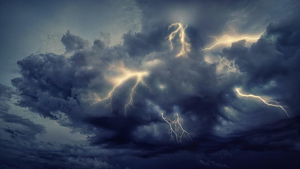
The National Weather Service in Paducah's Storm Prediction Center has once again placed the entire Tri-State area under an enhanced risk for severe weather Friday night into Saturday morning. Thanks to a forecasted high of nearly 70 on Friday and a cold front moving into the area later that night, conditions will be favorable for some nasty weather.

The National Weather Service says the primary threats will be damaging winds and locally heavy rainfall. Although, they can't rule out the possibility of an isolated tornado as well.
The National Weather Service grades severe weather threats on a scale of one to five with one being "Marginal" and five being "High." The Enhanced risk puts us right in the middle, or on the higher end of the threat scale, depending on how you want to look at it.
Of course, in the event things get really bad to the point where you and your family may be in danger, we will simulcast coverage from our media partners at Eyewitness News. Be sure to have our app on your phone to receive notifications and listen live in the event that happens.
[Source: National Weather Service, Paducah on Twitter]
KEEP READING: What to do after a tornado strikes
LOOK: The most expensive weather and climate disasters in recent decades
More From WDKS-FM