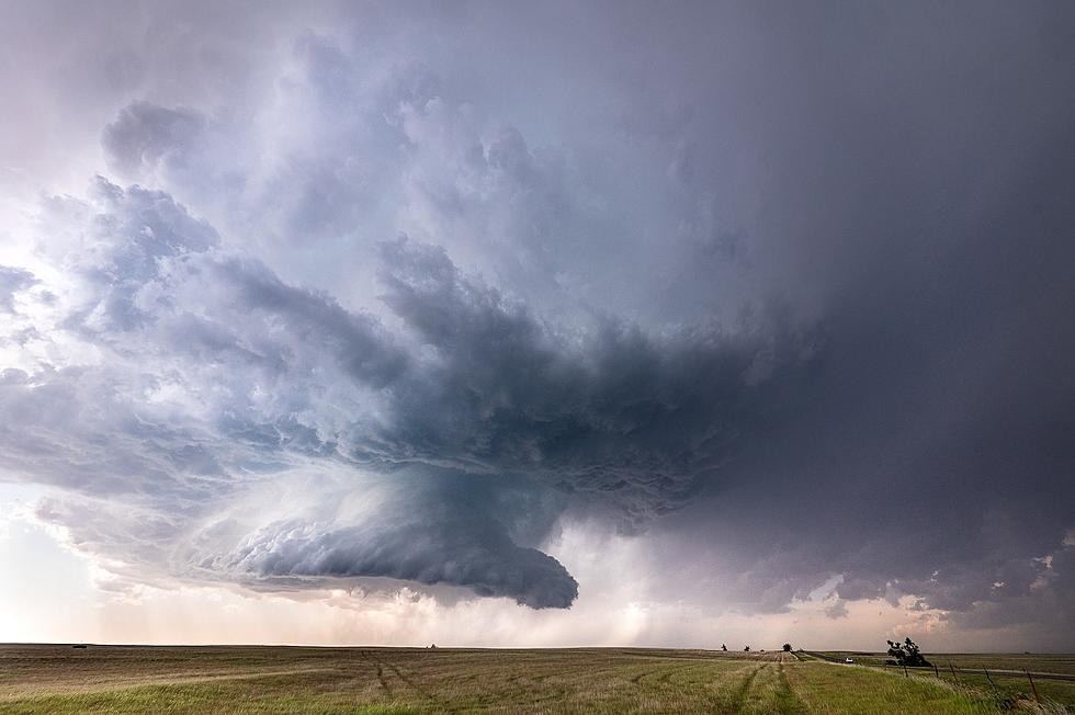
Isolated Tornadoes Possible in So. Indiana This Evening
Ready for another thunderstorm that could produce tornadoes? Me either. But it's coming...
According to the National Weather Service:
A strong Spring storm system will bring blizzard conditions from the central High Plains to the Upper Midwest Wednesday while severe thunderstorms are possible in the Midwest. Gusty winds and dry conditions will continue critical fire weather Wednesday into Friday from southwestern Texas into the southern High Plains.

I saw a post from Iowa that they are under blizzard conditions. Oh, no thanks! Thankfully, we don't have that in the tri-state but we do have a threat of tornadoes tonight.
A Wind Advisory is in effect for the entire region today. Sustained south to southwest winds 20-30 mph will gust 35-50 mph. Higher gusts are possible. The strong winds will set the stage for quite a contrast of concerns this afternoon and evening.
Showers and thunderstorms are expected to develop over southeast Illinois and bring a threat of severe weather to the Evansville Tri State region late this afternoon into the early evening. Damaging winds will be the main concern and will be most likely over southwest Indiana.


While the threat of tornadoes is low, it's best to get prepared. Download our app to stay up-to-date. During severe weather, we simulcast our weather partners at Eyewitness News 25.

Be Prepared: Essential Tornado Safety Tips to Protect Your Family and Pets
Gallery Credit: Kat Mykals
More From WDKS-FM


