![WATCH: Insane Footage, Photos of the Louisville, Kentucky Tornado [VIDEO]](http://townsquare.media/site/76/files/2022/04/attachment-LOUISVILLE-TORNADO.jpg?w=980&q=75)
WATCH: Insane Footage, Photos of the Louisville, Kentucky Tornado [VIDEO]
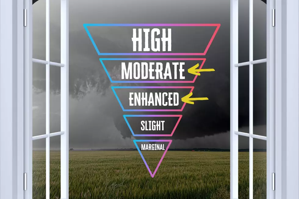
When the week began and the National Weather Service had already placed western Kentucky and southern Indiana under an Enhanced-Level 3 out of 5 risk for severe weather, that uneasy feeling sank in.
ANOTHER KENTUCKY TORNADO THREAT
With memories, still fresh in our minds, of the December 10th tornado that cut a swath of destruction through the Commonwealth, it wasn't unreasonable to believe that "Enhanced" designation had plenty of time to evolve into a "Moderate" risk--Level 4 out of 5. And that's what happened.
Here in the tri-state area, tornado warnings were issued at various times for Hopkins, McLean, Muhlenberg, and Ohio Counties on the evening of April 13th.
TORNADO MOVES THROUGH LOUISVILLE
But there was no word of any tornado touching down until much later when we learned that a twister was possibly on the ground in Louisville...and residents were quick to get pictures and record video and share them on social media.
WDRB-Louisville reports that it briefly went off the air during the Wednesday night storm and has shared other images shared by Louisville residents.
According to the Louisville Courier-Journal, more than 18,000 residents were left without electricity after the powerful twister, which--by late Wednesday evening--the National Weather Service had not yet confirmed had actually touched down.
Long before this line of storms led to the Louisville tornado, it was already spinning up twisters 60 miles west of Mayfield, Kentucky.
THIS STORM SYSTEM EVEN PRODUCED A BLIZZARD
This unbelievable cold front wreaked havoc in multiple ways; North Dakota has been dealing with a BLIZZARD and, as I write this, is still under a blizzard warning. I have no doubt the situation is suboptimal--baseline--but if you search "North Dakota blizzard" as I did, one of your results would be a story entitled "A Look at North Dakota Blizzards Throughout History." As violent and highly undesirable as a blizzard is, it doesn't sound like residents should be TOO surprised to see one.
Of course, it IS April; people want snow for CHRISTMAS, not Easter.
Just as we didn't have much winter activity in the few years before this one which offered up nearly weekly frozen precipitation threats, I've thought the past few severe weather seasons were lighter than normal.
This latest event is a good reminder that it IS severe weather season in the tri-state, and it's a good idea to make sure we're as vigilant as possible with every threat.
LOOK: The most expensive weather and climate disasters in recent decades
Dramatic Drone Footage Captures Tornado Aftermath in Bremen & Dawson Springs, Kentucky
More From WDKS-FM

